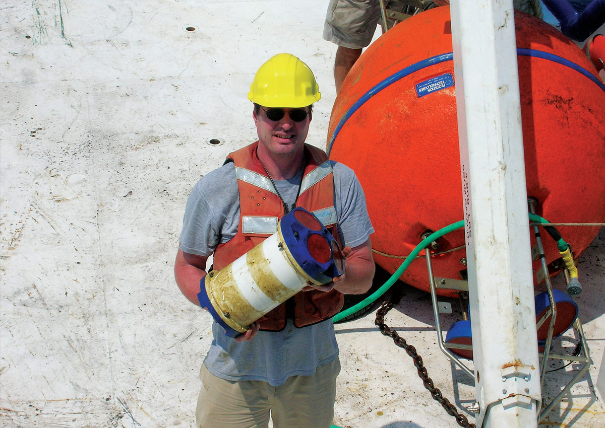
IntroductionIn August 2005, Hurricane Katrina struck the Gulf of Mexico, resulting in one of the most devastating natural disasters in United States history. Before this catastrophic event, Ocean Data Technologies, Inc. deployed subsurface current meter moorings at the Telemark location, Atwater Valley, Gulf of Mexico. These moorings were equipped with Teledyne Acoustic Doppler Current Profilers (ADCPs) to monitor ocean currents and conditions before, during, and after the hurricane.
Data Collection Setup
The data collection setup consisted of the following key element:
- Subsurface current meter moorings at the Telemark location were in about 1390 mºeters of water depth.
- Mooring instrumentation provided near-continuous vertical profiles from the surface to 750 meters deep, augmented by single-point current meters at 1000 m and 1375 m, respectively.
- Dual ADCPs mounted on a near-surface buoy: a 300 kHz ADCP for sampling the high-resolution surface layer and a 75 kHz ADCP for sampling deep currents.
- Mooring recovered successfully four days after Hurricane Katrina.
Key Hurricane Katrina Metrics
- Katrina reached its peak intensity of 150 knots on August 28th at 1300 CDT.
- The hurricane had a large wind field, with hurricane-force winds extending about 90 nautical miles from the center.
- Katrina’s eye passed closest to the Telemark mooring on August 28th at 2300 hours (CDT), with wind speeds exceeding 130 knots. The distance between the mooring and the eye was 25.5 nautical miles at that time.
Data Analysis
- Key Advantage: The ADCPs were positioned below the upper thermocline, below the depth of high-speed, storm-induced currents, so ADCP motions were limited.
- ADCP Motion: The data indicated that ADCP motion was not a significant source of bias. Buoy motion was modeled accurately, and the mean speed of the buoy/ ADCP was low—approximately 2 cm/sec, which had a negligible effect on the measured data.
- Averaging Scheme: The data averaging scheme was deemed reasonable, with ping frequencies sufficient to average out surface wave effects, including sensor motions due to wave accelerations.
- Upper Layer Data Validity: The analysis addressed the validity of data close to the surface. It was found that signal energy for high-frequency waves decayed rapidly with depth, leading to slight bias below approximately 10-15 meters.
- Vertical Velocities: Vertical velocities increased during storm passage, primarily near the surface but also positively at around 50 meters, possibly indicating mixing and turbulence.
- Horizontal Velocities: High vertical and error velocities above 25 meters were observed but did not necessarily invalidate mean horizontal velocity measurements. The sampling scheme effectively averaged through horizontal turbulence, resulting in reasonable measurements below 25 meters.
Conclusions
The deployment of Teledyne ADCPs during Hurricane Katrina provided valuable insights into ocean conditions during a Category 5 hurricane event. Key findings include:
- The mooring was well-positioned to measure the ocean’s response to an intense hurricane at near-peak intensity.
- The mooring remained relatively stable during the storm, minimizing the bias from storm-induced sensor motions.
- The data collection setup effectively averaged out surface wave effects and provided high-confidence measurements of horizontal velocities below 25 meters.
